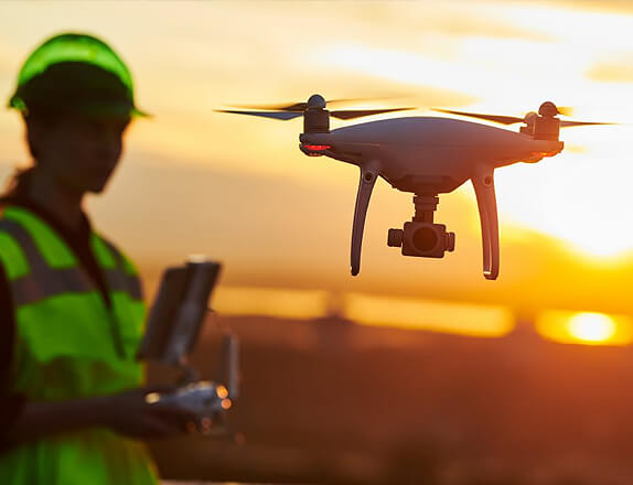
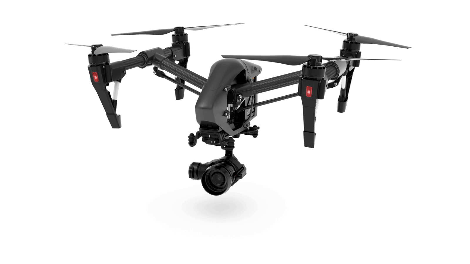
At Advanced Drone Operations, we take your drone expertise to new heights. Our program is tailored for individuals and professionals who seek to elevate their skills and knowledge in the world of drones. Whether you're aiming for a career in specialized drone applications or pushing the boundaries of innovation, our courses are designed to help you achieve your goals.

Agri drone spray training provides individuals with the knowledge and skills required to operate drones equipped with spraying systems for agricultural purposes. This specialized training offers several advantages, both for individuals pursuing a career in precision agriculture and for the agricultural industry as a whole. Here are some key advantages of agri drone spray training:
Precision Application: Training ensures operators can accurately and precisely apply pesticides, fertilizers, and other agricultural inputs to crops. This precision minimizes waste, reduces environmental impact, and optimizes resource use.
Efficient Operation: Trained operators can efficiently cover large agricultural areas, reducing the time and labor required for spraying compared to traditional methods. This efficiency is particularly valuable during peak farming seasons.
Optimized Resource Use: Operators learn how to analyze and interpret data collected by the drone's sensors, allowing for informed decision-making regarding the use of pesticides, fertilizers, and water resources.
Access to Challenging Terrain: Trained operators can navigate drones over challenging or inaccessible terrain, such as sloping fields or areas with obstacles, ensuring comprehensive coverage of the entire agricultural area.
Increased Productivity: By leveraging the capabilities of drone technology, farmers and agricultural professionals can enhance productivity, leading to improved crop yields and overall farm efficiency.
Compliance with Regulations: Training ensures that operators understand and comply with aviation and agricultural regulations related to drone operations. This is crucial for legal and safe drone use in agriculture.
Job Opportunities: Agri drone spray training opens up job opportunities for individuals seeking careers in precision agriculture, drone operation, and farm management. It positions individuals as skilled professionals in a rapidly evolving industry.
Agri drone spray training is a valuable investment for individuals and the agricultural industry, fostering responsible and efficient drone use in modern farming practices. It empowers operators with the skills needed to harness the benefits of drone technology for sustainable and productive agriculture.
Agricultural mapping training provides individuals with the knowledge and skills to utilize advanced mapping technologies, such as drones equipped with sensors and GPS, to collect geospatial data for agricultural purposes. This training offers several advantages for farmers, agronomists, and professionals in the agriculture industry. Here are key advantages of agricultural mapping training:
Precision Agriculture: Training enables individuals to implement precision agriculture techniques, allowing for precise and targeted application of resources such as water, fertilizers, and pesticides. This improves efficiency and minimizes waste.
Accurate Crop Monitoring: Mapping training equips individuals with the ability to use high-resolution imagery and sensors to monitor crop health, identify potential issues, and make informed decisions to optimize yields.
Data-Driven Decision Making: Individuals learn how to collect, analyze, and interpret geospatial data, empowering them to make data-driven decisions regarding crop management, resource allocation, and overall farm planning.
Early Detection of Issues: With the ability to monitor crops at a high resolution, individuals can identify potential issues such as diseases, pest infestations, or nutrient deficiencies early on, allowing for timely intervention.
Improved Crop Yields: By implementing precision agriculture practices informed by mapping data, farmers can optimize conditions for crop growth, leading to improved yields and overall productivity.
Compliance with Environmental Regulations: Agricultural mapping can assist in monitoring and ensuring compliance with environmental regulations, especially in areas related to water usage and chemical applications.
Overall, agricultural mapping training empowers individuals in the agriculture sector to harness the benefits of geospatial data for informed decision-making, sustainable practices, and increased farm productivity.
Drone survey and mapping training provide individuals with the skills and knowledge to operate unmanned aerial vehicles (UAVs) equipped with surveying and mapping tools. This specialized training offers numerous advantages, particularly in the fields of surveying, mapping, and geospatial data collection. Here are key advantages of drone survey and mapping training:
High-Resolution Imaging: Training enables individuals to capture high-resolution aerial images and data, allowing for detailed and accurate mapping of landscapes, infrastructure, and various geographical features.
Efficient Data Collection: Drones can cover large areas quickly and efficiently, reducing the time and resources required for traditional surveying methods.
Geospatial Data Accuracy: Through training, operators learn how to achieve precise geospatial data, ensuring accuracy in mapping applications.
Real-Time Data Acquisition: Trained operators can collect real-time data, enabling immediate insights into the surveyed area.
3D Mapping and Modeling: Operators learn to create 3D models and maps using drone-captured data. This capability is valuable in industries such as construction, architecture, and land development.
Adaptability to Various Industries: Drone mapping training equips individuals to apply their skills across diverse industries, including agriculture, construction, environmental science, archaeology, and disaster response.
Regulatory Compliance: Training covers aviation regulations and best practices, ensuring that drone operations comply with legal and safety standards.
Drone survey and mapping training empower individuals to harness the full potential of drone technology for precise data collection, mapping, and analysis across various industries. This skill set is increasingly valuable in today's evolving landscape of geospatial applications.
Drone surveillance and monitoring training provide individuals with the skills and knowledge required to operate drones for security, surveillance, and monitoring purposes. This specialized training offers several advantages for individuals pursuing careers in drone operations for surveillance applications and for industries implementing drone-based monitoring solutions. Here are key advantages of drone surveillance and monitoring training:
Aerial Perspective: Training allows operators to utilize drones to capture aerial views, providing a unique and advantageous perspective for surveillance and monitoring activities.
Flexibility in Operation: Operators learn to navigate drones in various environments, including hard-to-reach or challenging terrain, providing flexibility in surveillance and monitoring operations.
Enhanced Situational Awareness: Drone surveillance provides a comprehensive view of the surroundings, enhancing situational awareness and the ability to respond effectively to unfolding events.
Data Analysis: Training includes the skills needed to analyze data collected by drones, helping operators extract meaningful information and insights from surveillance footage.
Legal and Ethical Compliance: Training covers legal and ethical considerations related to drone surveillance, ensuring operators operate within the bounds of privacy regulations and ethical guidelines.
Monitoring Critical Infrastructure: Trained operators can use drones to monitor and inspect critical infrastructure such as pipelines, power lines, and communication towers, identifying issues before they become critical.
Training for Emergency Response: Operators can be trained to use drones for emergency response purposes, such as assessing disaster-stricken areas, conducting search and rescue missions, and monitoring evacuation routes.
Overall, drone surveillance and monitoring training equip individuals with the skills needed to utilize drone technology effectively in security, surveillance, and monitoring applications, contributing to enhanced safety, efficiency, and situational awareness.
Our courses delve deep into advanced drone operations, including complex flight mission planning, and industry-specific applications.
Learn from seasoned Drone Instructors (DGCA Approved) with extensive experience in their respective fields, ensuring you receive the highest quality of instruction.
Access the latest drone equipment and technology, giving you industry level hands-on experience with advanced systems and capabilities.
Our network and partnerships with various industries enables you to explore real-world applications and career opportunities.
Understand the intricate regulatory landscape, compliance, and best practices, ensuring you operate drones in a safe and responsible manner.
Get DGCA Certified Remote Pilot Certificate which adds value to your Profile!!!
If you're pursuing a career in industries such as cinematography, agriculture, construction, or surveying, our Advanced Drone Operations program will provide the expertise you need.
For enthusiasts with prior drone experience, our program allows you to expand your skills and explore more advanced applications.
Join us at Advanced Drone Operations and unlock a world of possibilities. Explore advanced applications, become a specialist in your chosen field, and play a key role in shaping the future of drone technology. The sky's not the limit; it's just the beginning. “Your journey to advanced drone operations starts here!!”
